Crop Monitoring
Crop Monitoring
Crop monitoring using vigour maps and spectral image analysis.
Maximise Your Field’s Yield with Crop Monitoring and Vigor Maps
Highly profitable farming can no longer be managed solely from the ground. Walking across thousands of hectares in an attempt to spot problems with the naked eye is a slow, imprecise process that often comes too late. By the time the symptoms of water stress, pests or nutritional deficiencies are finally visible to the naked eye, the crop has already suffered irreversible damage that will have a direct impact on your harvest yield and your profits.
Do you only realise there’s a problem with your crop when it’s already too late?
Traditional visual inspection has a very clear limitation: it is impossible to be everywhere at once. When managing large tracts of land, it is common practice to carry out random sampling or to assume that one section of the field is representative of the condition of the rest. However, the agronomic reality is that problems such as soil compaction, leaks in irrigation systems or outbreaks of fungal infection begin in small, hidden patches. By the time yellowing of the leaves or wilting becomes apparent during a routine inspection, the plant has already lost crucial days of development.
Working without a comprehensive overview of your plot has a negative knock-on effect on your finances. On the one hand, you treat the whole field the same, wasting thousands of euros by applying fertilisers and plant protection products to areas that are perfectly healthy. On the other hand, you apply insufficient doses to the actual problem areas because you do not know the exact extent of the damage, resulting in a drastic drop in productivity by the end of the season and extremely patchy harvests.
We help you gain a complete and comprehensive overview of your field. We’ve moved on from blind inspections to high-resolution aerial monitoring. We stay one step ahead of physical symptoms by generating maps that show you the plant’s internal health week by week. Turn uncertainty into complete visual control so that you know exactly where to take action and how to protect your investment before the problem affects your profitability.
Services
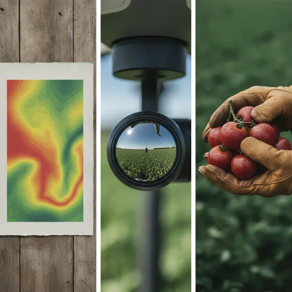
Maps Showing the Crop
We generate visual indices of your crop using high-precision maps. Identify nutrient deficiencies, drought and resource availability on your land so you can take early action and apply solutions exactly when your crop needs them.
Reconnaissance Flight
We assess the measurable characteristics of your land using high-precision photographs. We identify problems, stress and biomass in your orchards so that you can take swift action and apply nutrients exactly when the land needs them.
Data for Viewing the System
We analyse the visual condition of your system using large-scale data. We analyse variables, pests and defences on the trunks to carry out timely treatment and provide preventative measures exactly when the crop needs them.
The impact of monitoring your field from the air
- Ultra-early detection: It detects water stress, diseases and pests weeks before the symptoms become visible to the naked eye.
- Resource optimisation (VRT): It facilitates the variable application of inputs; it uses water, fertilisers and plant protection products only in the areas marked as having low density.
- Harvest consistency: Identify the unproductive areas of the plot and take corrective action to bring the yield across the whole field up to the same standard.
- Development history: Compare vigour maps from different weeks or years to objectively assess whether the treatments and amendments applied are working.
- Production estimate: Use biomass volume and plant vigour to make much more accurate forecasts of the volume of your next harvest.
- Savings in operational time: Cut down on the time spent searching the farm for anomalies at random, and direct your team straight to the exact coordinates of the problem.